
Zeeland-Flanders, Nursery of Flanders and the Netherlands
A distant periphery in the Netherlands, it is abroad for those in Flanders: the area of province of Zeeland-Flanders is a strip of land that does not seem to belong to either of them. But it is also the place – along the southern bank of the river Scheldt – where the two countries merge, just as sea and land have done for centuries. Once upon a time, people here started to reclaim land from the water. Thus the Low Countries grew out of the North Sea. A look at an intriguing and breathtakingly beautiful area.
Taking a puff from his pipe, a man is looking with satisfaction at a house that is being renovated. ‘BXL’ is prominently displayed on the Belgian license plate of his large SUV. The refurbishment has not progressed very far, but I suspect that the old farmhouse will get a makeover in Normandy style. Many wealthy Brussels residents now buy holiday homes in this part of Zeelandic-Flanders. The fashionable town of Knokke is reassuringly nearby, but here is tranquillity and are views that have become scarce in Belgium. Here, one can still dream of a Flanders that no longer exists on the other side of the border. Or perhaps never did exist. And apparently that includes a house with thatched roof in the Normandy style.
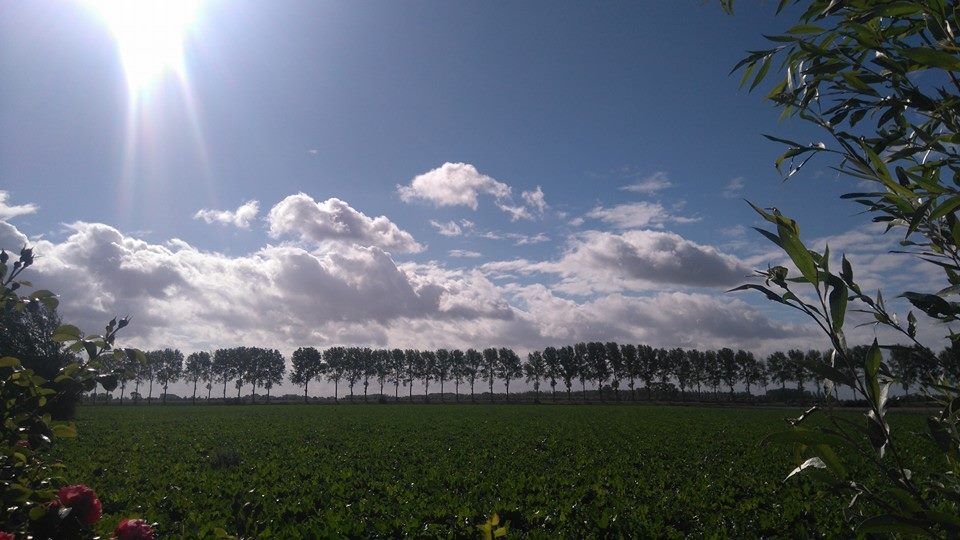
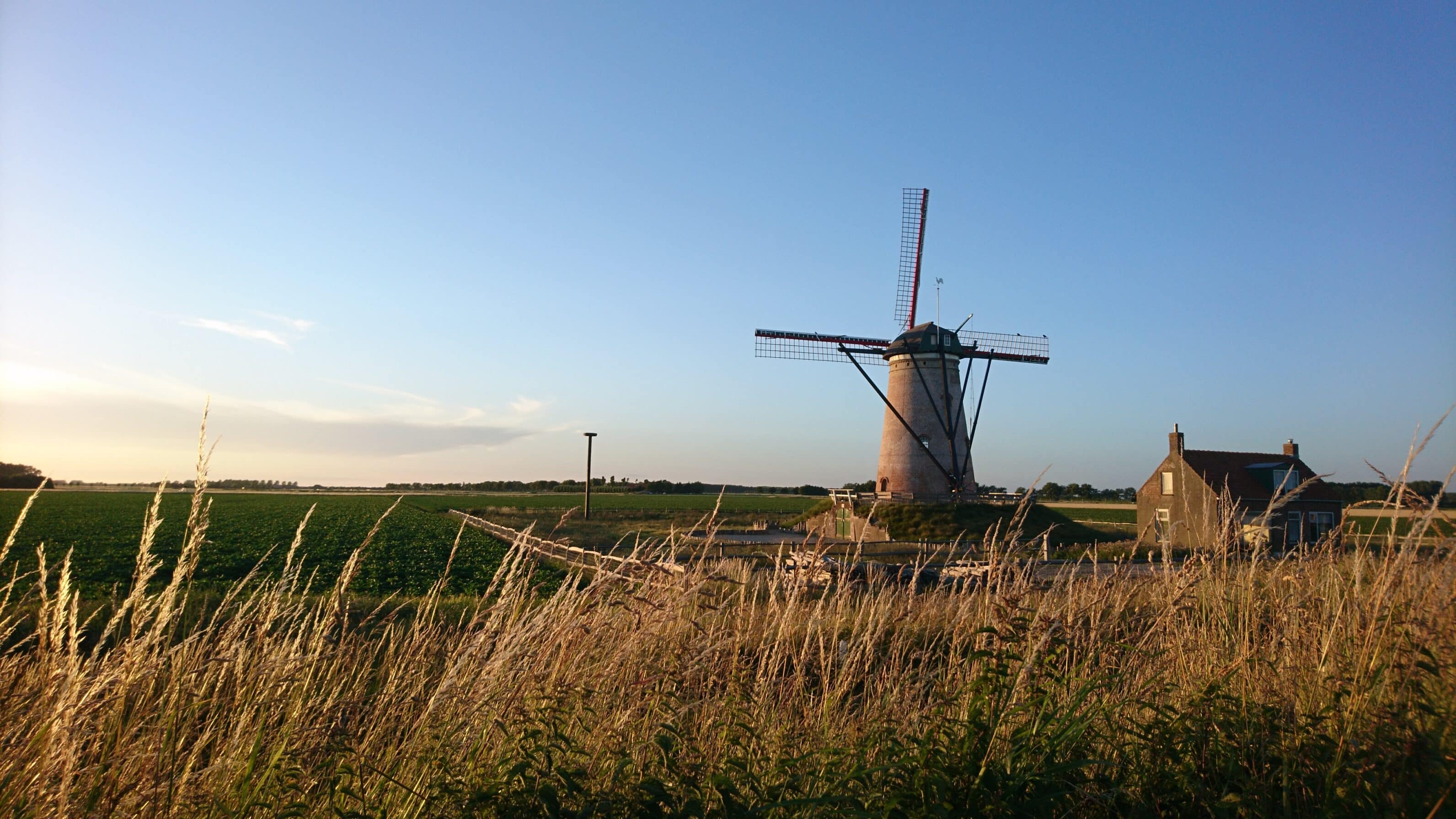
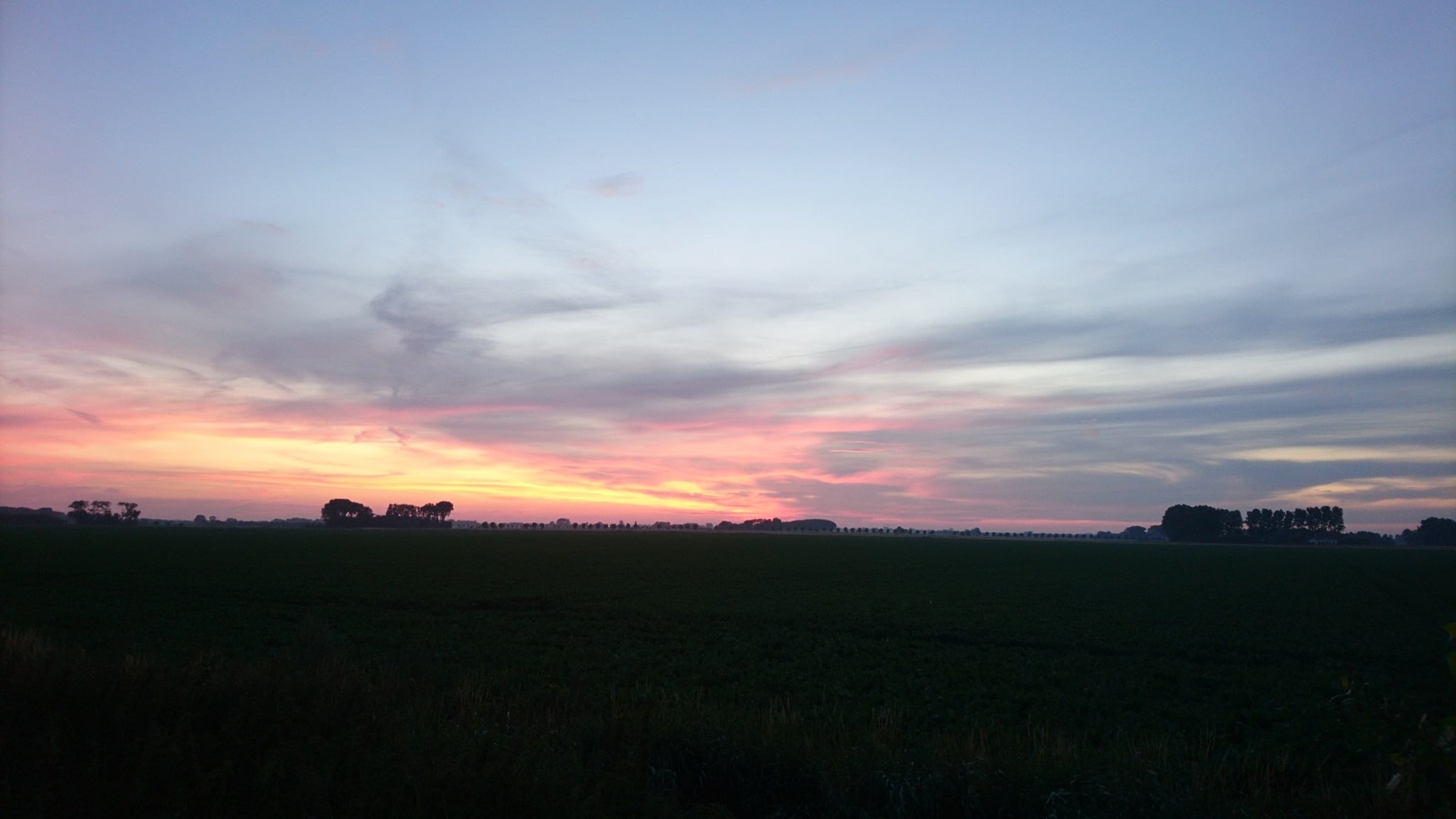
I understand this man. I too come here dreaming of a different Flanders, of a Flanders that might have been. More beautiful. Greener. Quieter. I take a bike ride just inland from the Zeeland-Flemish coast, and savour fields of swaying grain, gnarled pollard willows along quiet country roads, cattle grazing in meadows. An untouched and harmonious landscape that stretches on for miles, hardly disturbed by habitation. Little houses, perhaps formerly belonging to farm workers, are dotted here and there among the trees. Old-fashioned farms with imposing barns are set amidst extensive farmlands. Surrounded by tall poplars, they are protected from the wind, which otherwise reigns supreme over this flat land.
© Kristien Vanspauwen
“My flat country, my Flanders country”, sang Jacques Brel. Probably hummed by the gentleman with the pipe from just now. Only: this is not my Flanders country. This is a piece of Flanders in the Netherlands. And fortunately so, because it has thus been protected from endless ribbon development, painfully ugly and bumpy cobblestone roads, ever-expanding parcellation. Clear-cutting of farmland simply did not take place here. There was no random construction or concreting over. Trees can still grow old here, reach skyward. Could ‘my’ Flanders have looked like this, if a different spatial planning had ever been decided upon?
This is a little piece of Flanders in the Netherlands. And just as well, because it has been spared the relentless sprawl of housing developments
It’s something I envy the Dutch: their concern for the appearance of their country. Why is it so different in Flanders? Most will mumble some vague explanation about the difference between Catholics and Protestants. But I have my own theory. I think it’s got to do with pride. The Dutch are proud of their past and want their country to continue to resemble those Dutch landscapes from their glorious Golden Age. The world views this with admiration, it is a heritage they cherish. Flemings, on the other hand, do not feel proud at all, but are ashamed of their rural past: for centuries those backward Flemish peasants were looked down upon. That history has to be wiped as soon as possible; the sponge must scrub away the messiness of farm life. Our Open Air Museum ‘Bokrijk’ today has become a sneer.
Many of my compatriots do not share my love for this peaceful Zeeland farmland at all. “Dead boring”, was the verdict of an ex-colleague who once came here on holiday. “All those villages look the same and there is nothing to do.” And what about those beautiful open landscapes? “Pffftt…” ‘Parochial’ is a word that invariably crops up when Belgians talk about the Netherlands. And often they see their own spatial chaos as a sympathetic expression of Belgian surrealism. The border here runs not only between our two nations, but also through our minds.
© Kristien Vanspauwen
Hovering between land and sea
Once, that border did not exist. Centuries ago, the area I now cycle through was just the hinterland of Bruges, and Sluis was an outer port of that rich trading city on the silting Zwin estuary. Just like the town Sas van Gent, a bit further away in Zeeland, granted the equally powerful people of Ghent access to the sea. If you look at a contemporary map, you will see both towns quite far inland. But on old maps they still lie on open water, and Zeeland-Flanders was a collection of islands and peninsulas intersected by navigable water and muddy tidal channels. Flanders’ northern border shifted between land and sea, literally a ‘sea land’.
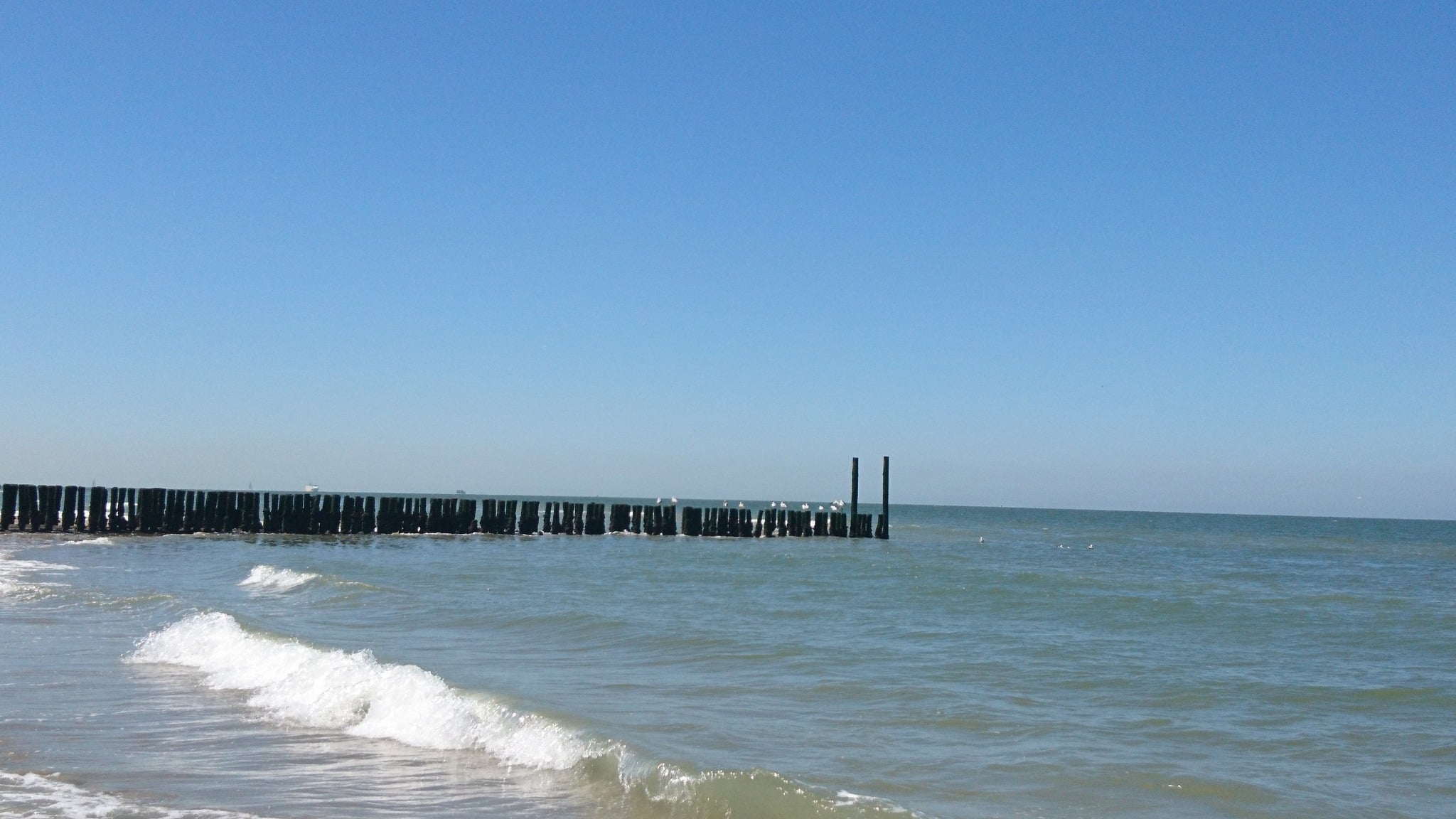
This also explains the name ‘Flanders’, according to etymologists, who claim it comes from the Germanic word flaum, meaning ‘flooded area’. In the Verdronken Zwarte Polder near Nieuwvliet you can still see what that original Flanders must have looked like: land that floods gradually at high tide, only to become dry again when the sea retreats. The first inhabitants will have settled on land ridges, mounds, and islands. That was many centuries ago. From the beach of Nieuwvliet you can now see large seagoing ships passing by continuously, towards the Western Scheldt and the port of Antwerp, the heart of that other, modern Flanders.
© Kristien Vanspauwen
Meanwhile, the Dutch have become world famous for claiming land from the sea. But it was the Flemish who started it. Already in the early Middle Ages monks and farmers were busy building dykes and draining swampy soil. Salt, fresh, and brackish water was pushed back further and further. They got better and better at it, and they drained ever larger areas. Cycling through Zeeland-Flanders I see them everywhere: old dykes that are now miles away from the sea. As an ‘inlander’, I can hardly imagine that the sea, or a muddy inlet, ever lapped at those dykes. On which side exactly was the land, and where was the water? Could locals read this landscape better?
Meanwhile, the Dutch have become world famous for claiming land from the sea. But it was the Flemish who started it
To my mind it is strange to think that you can just flood a piece of land again, without the rest being flooded along with it. As they are soon planning to do with the Hedwigepolder: an area of about 500 hectares that borders the Verdronken Land van Saeftinghe, and that has to become nature again to compensate for the dredging of the river Scheldt. Rewilding, it’s called, and it’s noble and useful, even necessary. But I also understand the Zeelanders’ protests: it took literally centuries to knit together a patchwork of islands and islets, sandbanks, mud flats and salt marshes into one larger piece of land. Battling the sea is in their genes. Cutting through a dyke and giving up such terrain must feel totally unnatural.
© Kristien Vanspauwen
Swallowed by the waves
While cycling, I still notice ‘constructions’ here and there in the landscape Although you can hardly call them that, because they are difficult to distinguish from the old dykes: grassy embankments on which cows graze or trees grow, for example in the vicinity of Aardenburg, Oostburg and IJzendijke. They are quiet spots that bring a little relief to this flat country. And yet these are witnesses of another dramatic period in our shared history: the Eighty Years’ War. They are primitive fortifications that once held cannons, and from which men with muskets peered over largely submerged land (because even then the dykes had been breached), waiting anxiously for the Spanish troops. Our regions were viciously fought over for decades. But in the end the Spanish advance came to a halt here, and the Flemings on this side of the line ended up in a different country from the Flemings a few kilometres away. For nearly 450 years, the two countries have gone their separate ways in history (the fall of Antwerp in 1585 is widely regarded as the beginning of the separation).
© Kristien Vanspauwen
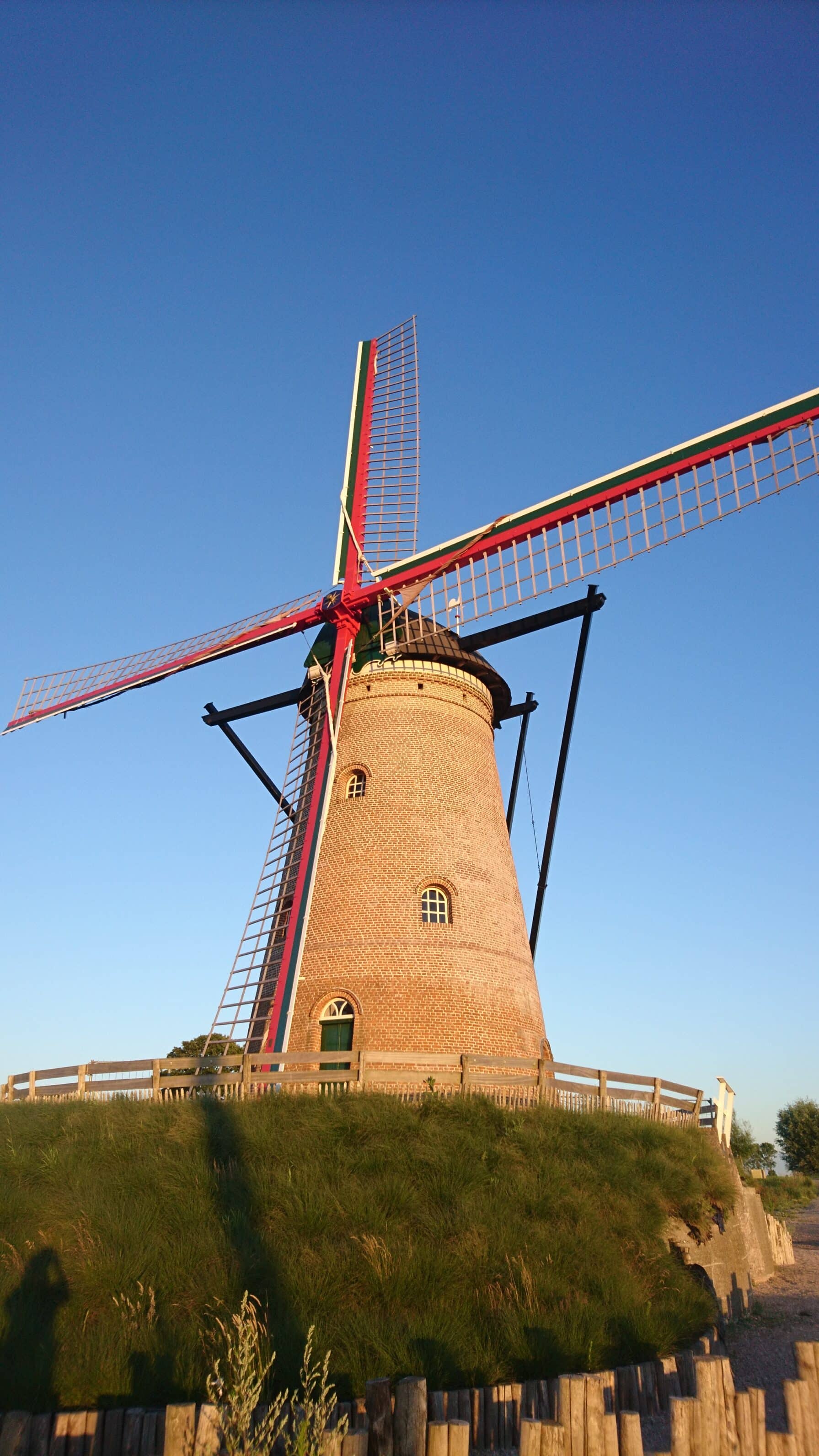
In the meantime I have come home from my bike ride to a holiday home in Zuidzande that we regularly rent. Zuidzande is now a few kilometres inland, but once it was on the south side of an island, to which Cadzand also belonged. Ten years ago we first holidayed in this region and found quiet beaches and a beautiful inland. Since then, we have seen the area getting busier and busier every year and we see Cadzand growing higher and higher in the distance, and further and further along the coast. Where until recently the Belgian ‘Atlantic wall’ stopped at the border, it now passes smoothly. Knokke grows into the Netherlands. To the satisfaction of the man with the pipe, perhaps. Boundaries drawn nearly half a millennium ago are fading again.
© Kristien Vanspauwen
I wonder what the future is of this coastal area. Is it smart to build so much in a region that is threatened by global warming and rising sea levels? Will this ever be an amalgam of islands and flooded land again? Will history repeat itself? After all, the list of towns and cities swallowed by the waves is surprisingly long. Some disappeared in a storm surge, others had to be abandoned after years of struggle against the water and slowly sank. Can we now with all our technology beat the power of the sea? Or is that the typical hubris of modern man? I already know one person who has sold his apartment by the sea: “It will outlast us,” he said, “but I don’t think it will be of any use to our children.”
If you look at it over a sufficiently long period, this apparently peaceful area is in constant motion, between sea and land, between countries, between people and nature. I disagree with my colleague who found it so dull: this is a place that never gets boring.

You might also like



Leave a Reply
You must be logged in to post a comment.